
Scott Hayes, Local Journalism Initiative Reporter | [email protected]
The Chetamon Wildfire saw some activity last week, due in large part to the unusually warm fall weather meeting up with a passing cold front.
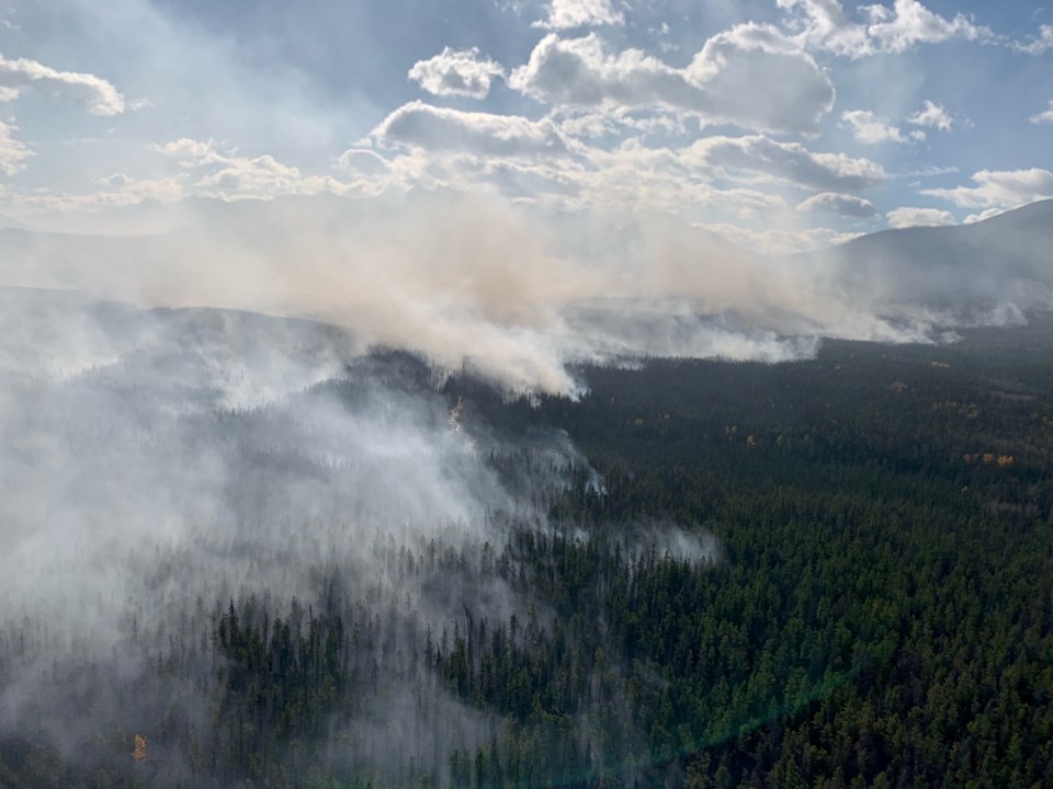
This produced the most noticeable fire behaviour within the approximately 6,000-hectare area since Sept. 4, but while it was reported as significant, it wasn’t lasting.
“That was interesting to observe that late into October, but all of the fire behaviour was in monitoring areas,” said Local Incident Commander Landon Shepherd. “We're able to just be impressed by Mother Nature instead of being worried by it.”
Parks Canada reported the fire activity along the remote western flank on Oct. 19, the area of the wildfire that has been allowed to continue to burn. The cold front brought strong and erratic winds that generated some unprecedented wildfire behaviour for late October.
That behaviour resulted in increased smoke and some growth into the Vine Creek Valley.
Despite the activity, there continues to be no threat to any communities from the wildfire.
"A helicopter bucketed water on the priority north end of the wildfire throughout the weekend to prevent growth in any priority action areas of the fire,” Shepherd said. “We have had to continue to apply pressure to the north end to make sure that it stays within our control lines that we set up early on.”
“That has fortunately seemed to finally have changed with at least a little bit of precipitation,” she added.
On Oct. 20, only 1.2 millimeters of rain fell at the north end of the fire, producing minimal impact. A lot more precipitation came to the south and to the east of Jasper putting the wildfire zone in what Shepherd called a “little dry doughnut.”
“It meant that the fire was still pretty happily smouldering away.”
Some precipitation did come in on Sunday night though it was difficult to measure.
“It seems to have come in as snow, and we don't have a snow sensor right at that fire weather station. Usually, the precip we're trying to measure is rain not snowfall,” Shepherd said. “It's definitely helped to get that little bit of snow out on the landscape.”
More rain and snow was forecast for the rest of this week. As this more typical autumn and winter weather arrives, Parks Canada anticipates that the active smoke areas will diminish, leading to a re-evaluation of the need for helicopter resources.


