51°µÍø

Skip to content

Snowfall warnings issued for Jasper, Hinton

jaspernp-2025-avalanche-control-staff-at-work-snow-plow-on-icefields-parkway-93n-credit-parks-canada-luuk-wijk-img_8040-web-photo
Avalanche control staff plow the Icefields Parkway (93N) on Friday, Jan. 17, 2025.

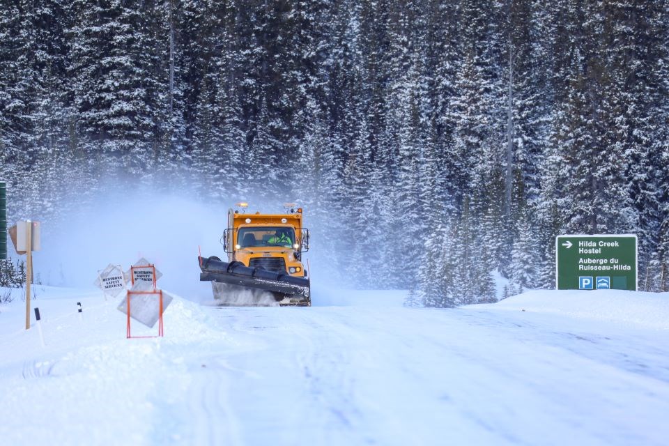
Environment Canada has issued snowfall warnings for and on Friday (Jan. 31) with 15 to 30 centimetres expected.

Snow is forecasted to intensify in the morning and continue through the night before tapering off Saturday morning (Feb. 1).

Travelling is not recommended and drivers are asked to consider postponing non-essential travel until conditions improve.

"Visibility may be suddenly reduced at times in heavy snow," Environment Canada stated in a release. "Surfaces such as highways, roads, walkways and parking lots may become difficult to navigate due to accumulating snow."

Those clearing snow are advised to take frequent breaks and avoid strain. Parks Canada has also warned about avalanche conditions potentially worsening with the new snowfall.

The public is asked to monitor alerts and forecasts issued by Environment Canada. For up-to-date road conditions, monitor

Current Weather

Periods of rain

Periods of rain

3.2°C

Pressure
101.6 rising
Dewpoint
-0.8 °C
Humidity
75%
Wind
NE 19 km/h
Gust
38 km/h


Hourly Forecast

Today
10 AM
5°C
Periods of rain
Today
11 AM
6°C
Periods of rain
Today
12 PM
6°C
Periods of rain
Today
1 PM
6°C
Periods of rain
Today
2 PM
6°C
Periods of rain
Today
3 PM
6°C
Periods of rain
Today
4 PM
6°C
Periods of rain
Today
5 PM
6°C
Periods of rain
Today
6 PM
6°C
Periods of rain
Today
7 PM
6°C
Periods of rain
Today
8 PM
5°C
Periods of rain
Today
9 PM
5°C
Overcast

7 Day Forecast

Periods of rain

Today

6 °C

Periods of rain. Snow level 1400 metres. Snowfall amount 2 cm over higher terrain. Wind north 20 km/h gusting to 40. High 6. UV index 1 or low.


Periods of rain

Tonight

-4 °C

Periods of rain ending this evening then clearing. Snow level 1500 metres. Wind up to 15 km/h. Low minus 4. Wind chill minus 6 overnight.


Chance of showers

Monday

13 °C

Mainly sunny. Increasing cloudiness late in the morning then 30 percent chance of showers in the afternoon. Snow level 1600 metres rising to 2000 metres in the afternoon. Wind becoming southwest 20 km/h gusting to 40 in the afternoon. High 13. Wind chill minus 6 in the morning. UV index 5 or moderate.


Chance of showers

Monday night

4 °C

Cloudy with 60 percent chance of showers. Low plus 4.


Chance of showers

Tuesday

11 °C

Cloudy with 60 percent chance of showers. High 11.


Clear

Tuesday night

-2 °C

Clear. Low minus 2.


Sunny

Wednesday

15 °C

Sunny. High 15.


Clear

Wednesday night

-1 °C

Clear. Low minus 1.


Sunny

Thursday

19 °C

Sunny. High 19.


Clear

Thursday night

2 °C

Clear. Low plus 2.


A mix of sun and cloud

Friday

20 °C

A mix of sun and cloud. High 20.


Chance of showers

Friday night

4 °C

Cloudy with 60 percent chance of showers. Low plus 4.


Chance of showers

Saturday

11 °C

Cloudy with 60 percent chance of showers. High 11.


Normals

Low
-1 °C
High
13 °C

Sunrise and Sunset

Sunrise
6:28 AM
Sunset
9:13 PM

Based on Environment Canada data

push icon
Be the first to read breaking stories. Enable push notifications on your device. Disable anytime.
No thanks